- cross-posted to:
- [email protected]
- [email protected]
- [email protected]
- [email protected]
- cross-posted to:
- [email protected]
- [email protected]
- [email protected]
- [email protected]
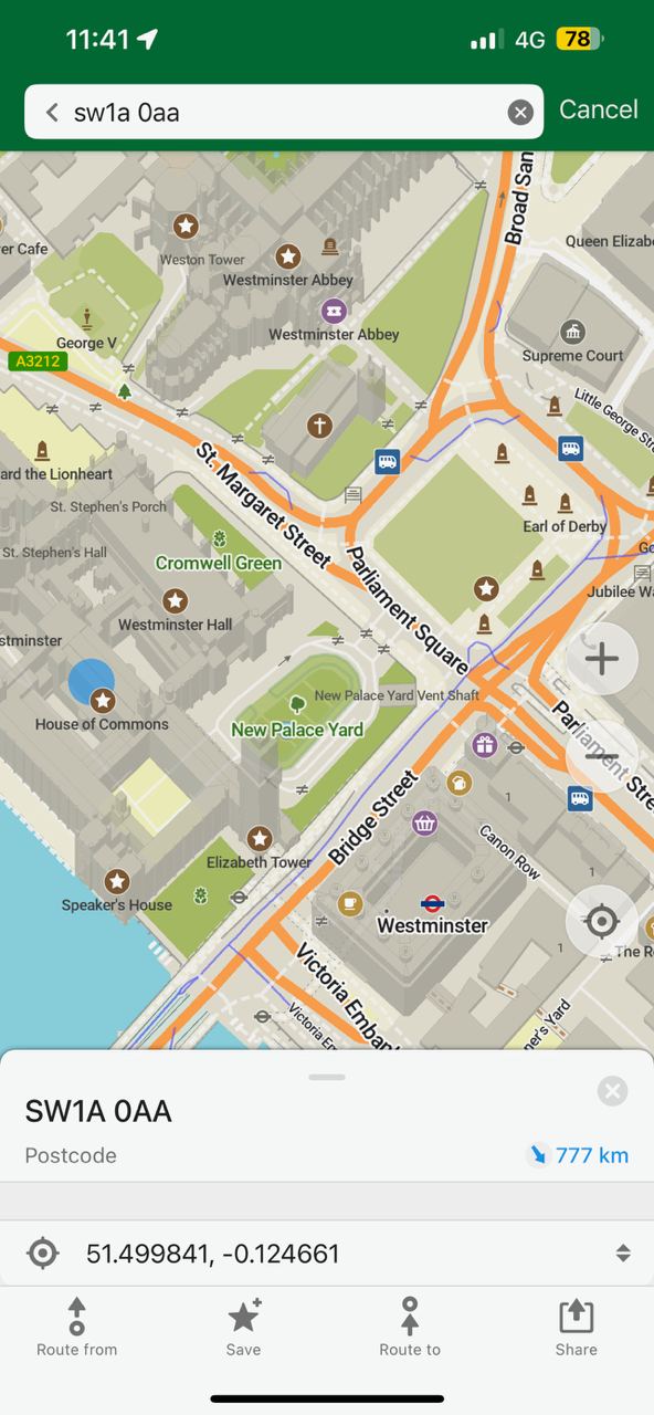
My number one gripe with organic maps is how fragile the search is. If you don’t write it exactly right, you get no or irrelevant results. Also, it seems to have no clue of what is popular and what people expect when they search for something. I’m not talking about personalized results but for example the following: searching for “Eiffel”, leads me to minor roads, restaurants and all kinds of results unrelated to the Eiffel tower. This is what is troubling me the most.
Yeah, I tried to use it in rural ireland, and most houses do not have a number. However, even if a house had a number (and would show it on the map), searching it would still only ever give me the whole street as a result (Worse, often the first result was in a different village, hundreds of miles away…). Even in a well mapped major city area the search is very iffy about house numbers. As such I didn’t even dare to do a more general search like “main train station”.
Said that, it was usefull and other stuff worked great. Compared with the only other offline map I have used “here wego” (daimler, nokia, tizen) it does some things better, especially for foot / tourist type information, and you know, open source. But that search sure is an experience.
On houses missing numbers: this is likely incomplete data in OSM and you could join the crowd to fix it. I recommend SCEE app, where you contribute by resolving questions nearby, earn points and compete. It’s actually fun :)
Search has definitely been iffy. Sometimes it’s been pretty decent (also based in Ireland) but other times it leaves me wondering what “it was thinking”
Edit: corrected the comment. I forgot to finish the rest of the last sentence.
*wandering
Yeah. I find myself using Google Maps on a web browser to look up the coordinates, then copypasta-ing that into Organic Maps.
Try this from Sopranica. lemmy.ml/c/sopranica
That looks like exactly what I need. Seems to work pretty well already.
Thanks!
Thank you for this. Super helpful.
For some reason the location is now locked and won’t update for me.
mapping and geolocation services link converter
I just want to be able to input an address and it actually take me there and not just give the whole road. I don’t care much for lacking traffic data but I want to at least get directions.
I understand I can search for locations but that doesn’t work for houses, unlisted businesses (recently had an issue trying to local a local clinic that we were given the address for), or many trailheads.
Let’s be honest, it doesn’t work for 30% of listed businesses either… Typing in more than 1 word automatically returns utter crap.
If I type is SPAR, I get all supermarkets near me.
If I type in SPAR supermarket because that is what it is listed under, I get this BS, random supermarkets 60+ km away. Even if it could only parse out supermarket because of how badly it parses, then it still could take supermarkets near me.
When I type in just supermarket, I get the supermarkets near me. Any time I type more than one word, the search completely breaks…
Just tried out the nav for bikes across town to see the route it picked. It used the same route that Google Maps did, which is a death trap with 55mph cars, blind hills, and no bike lanes. I see no way to report the issue in the app, either.
(Strava chooses the correct, safe route which uses protected bike lanes the whole way)
@something_random_tho @lqwlxxxdxq
You should make an account on openstreetmap.org and modify the map to make it select a better route. You are part of the ecosystem of open-source software and crowd-sourced data.
You can also create an account and just leave a note on the map (a message that other contributors to OSM see) mentioning your observations. It’s a good option if editing the map is too overwhelming with all the different tags and how routing algorihms interpret them.
That’s good advice. I updated the route in OSM and it now recommends a better path, but still not what I’d consider the safest/still not what Strava recommends. It seems like it prefers shorter distances with painted bike lanes over having a protected bike lane at all points of the journey. It’d be a neat option – prefer protected lanes even at expense of more distance.
@something_random_tho The pathfinding algorithm is in the client app (like Organic Maps) and the data are in openstreetmap. Different apps can find different paths and there is not much we can do about it, because changing the pathfinding algorithm could break it for many other places. That’s why I would rather modify the data, such as marking roads unsuitable for bikes, or making sure the nodes are properly connected, adding speed limits, road surface types… nudge the algo into the right path
As other user said: Organic Maps uses data from OpenStreetMap, so the best thing is to go there and see how the roads in that town can be mapped better, if bike lanes are present, and if other characteristics of the roads that make them more/less attractive to bicycles are tagged.
I understand this can seem daunting to someone who has never used OpenStreetMap, but I’d encourage you to at least add a note on the “death trap road” to let other, more experienced, users know about the issue and check the tagging of that and other roads.
Long press any specific point where you have a comment, an edit button will appear where you can send a comment to the editors.
Bookmarks and GPX export is a great addition. OrganicMaps continues to improve and I find myself using OsmAnd less and less (unless I need specific features).
OrganicMaps appears to be gunning for the FOSS gold standard for maps.
It covers navigation needs pretty well. Have not used google maps since last year.
What is your use case for navigating? I feel like if I’m in a new place OrganicMaps isn’t so great for discovering POI. But if I’m in a place I already know decently it’s pretty rare I need navigation anyway. I’d like to use OrganicMaps more though :)
Ohh I meant driving or walking point A to B, it works
Yeah it ain’t gonna tell you where the new hot food joint is at. It ain’t replacing that use case for google maps, maybe one day we can crowd source that too
deleted by creator
Yeah internet do be like that.
Likely why they aren’t even trying which is fair.
Use web2.0 slop for that lol
It has sent me down some dead end roads in the past 6 months, and the time estimate is always far off even without traffic, but other than that it has been great and I can actually change night and day mode in my car manually because google maps is forever stuck in night mode for some reason.
This makes me wonder, is there a way to map out my own route for when I want to go for a recreational bike ride, for example? I think I would find this very useful if possible.
You can plan a route easily, but there is sadly no way to save it for later use
Oh, that’s a bummer. Feature request time?
Edit: that’s already in the works, so it seems.
I think the feature request is a way to record your travel right? I thought you meant more of a way to plan the route ahead of time and save it, so you can come back to it at any time.
I mean, If I do rhe route once, it avts the same way afterwards, right? Though you’re right that I prefer to plan the route first.
You mean to plan a route? Or to make sure that all point of interest are in the map? The latter is entirely possible, as it is openstreetmap.
For route planning, I actually don’t know.
I meant route planning


