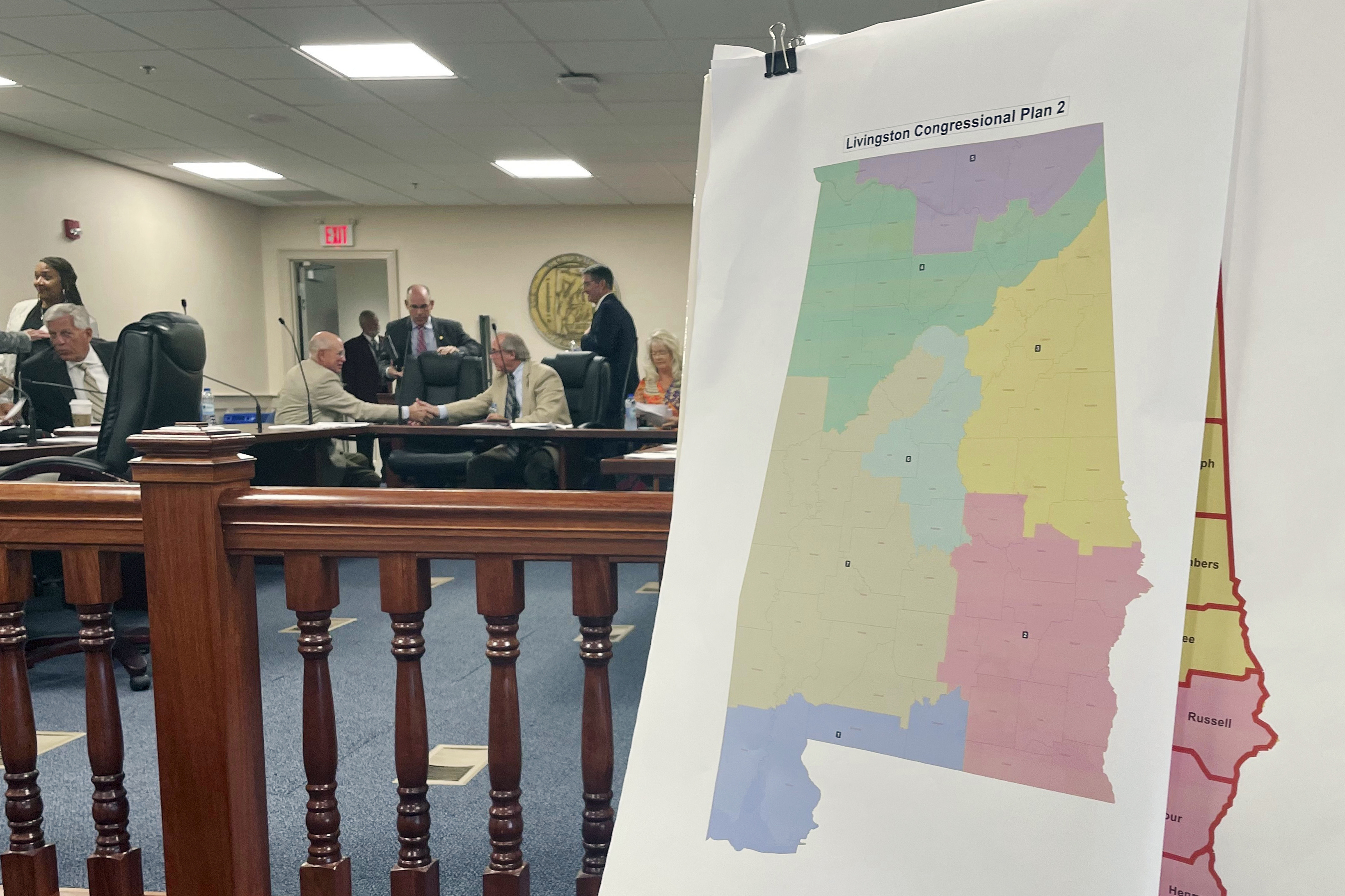
The map will likely add a Black — and Democratic — member to the delegation.
A federal court has picked Alabama’s new congressional map, which will likely result in an additional Black — and Democratic — member in the delegation.
The new map came after the same panel of federal judges twice found that lines drawn by the GOP-dominated Legislature likely violated the Voting Rights Act by weakening the power of Black voters. The new lines will be used for at least the 2024 elections, the state’s Republican secretary of state said on Thursday, though Alabama Republicans have vowed to fight them for future cycles.
The map gives greater electoral power to Black residents, who make up about one-quarter of the state’s population. And it will very likely mean Republicans lose one seat in their thin majority, imperiling their already tenuous hold on the lower chamber even before battleground districts come into play.


Hot take:
The runner up minority party gets to redraw 51% the map after every election cycle.
No, that’s a terrible idea. Gerrymandering will only end when we stop having humans draw inherently biased maps and instead have a computer use an open source algorithm that produces an objectively fair map.
I don’t know of any objectively fair algorithms for drawing districts. Doing it in a way that seems mathematically sensible is very likely to create structural biases the same way the politically neutral rules about House and Senate representation end up structurally favouring Republicans and rural voters.
I don’t think it’s possible to make an unbiased algorithm. Algorithms inherently have the bias of their creators. People will find ways to game the algorithm. Computer drawn maps are just opening up another can of worms. The best solution is MMP.
Ok instead all the fourth graders in every school district have to put a pin where there home is on the state map.
We take the mean location of those sets and extend Voronois around them to the state lines.